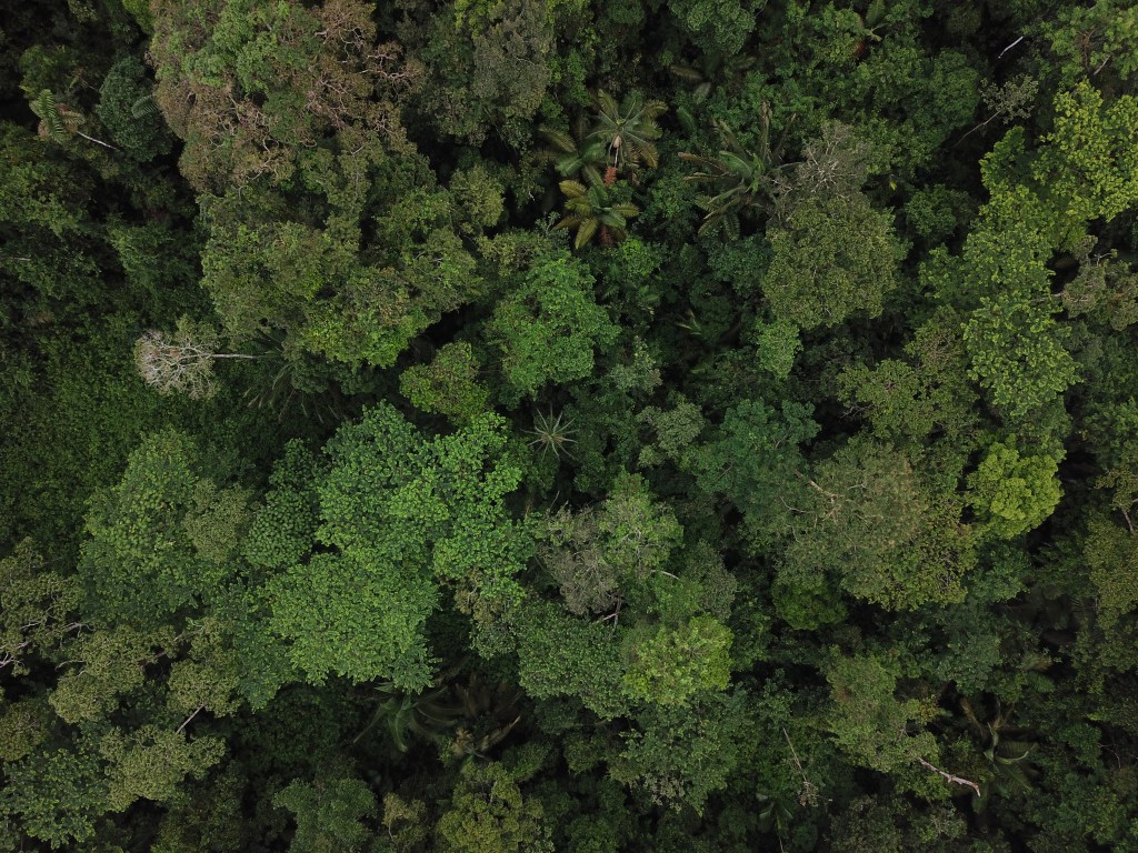
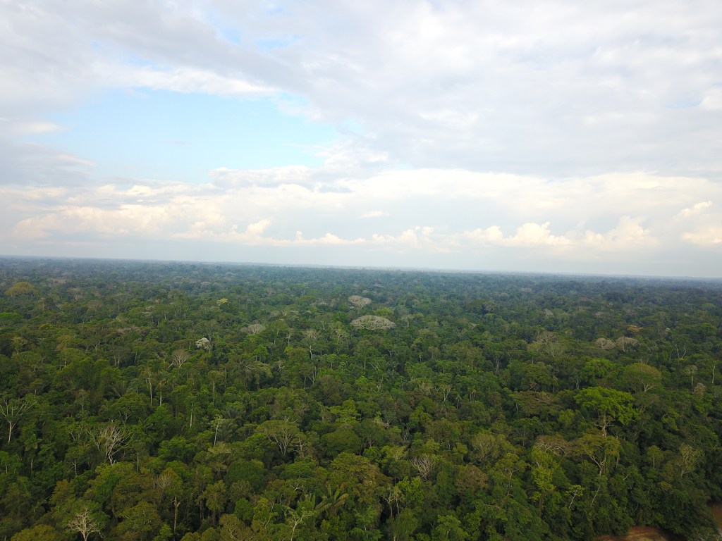
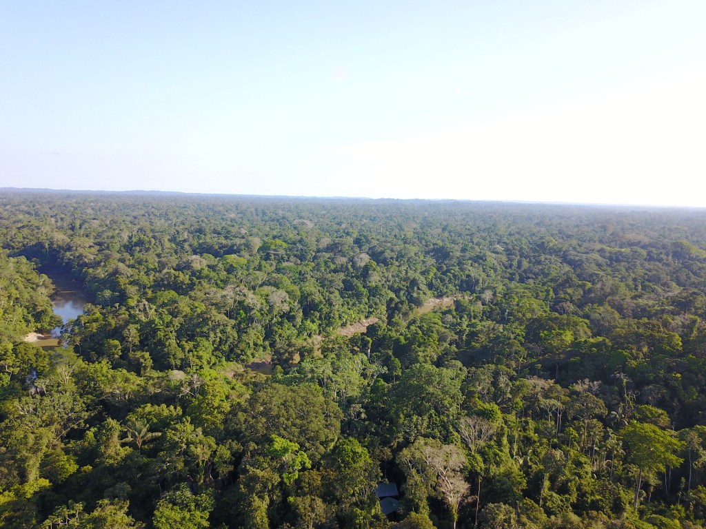
In 2017, I began to also use UAVs in this region (to make multi-temporal comparisons) equipped with infrared and high definition cameras in transects of ~ 100 hectares located in the three dominating ecosystems of the YBR, which include the one-ha plots experimental units established by on-going parallel projects as ground truthing units. We are now testing, with colleagues from the USFQ-GIS and University of Amsterdam-part of the Master’s program I helped to develop, the use of UAVs’ infrared images to perform biomass calculations per ecosystem (calibrated by biomass calculations from plots data) and the automatic recognition of conspicuous canopy plants recorded in the high-resolution images taken by these aerial drones. Future phases of this very attractive project include working to improve machine learning techniques to automatically recognize tree species in large photomosaics using for example, crown shape and light reflectance variation among different taxa, and the application of these same cutting-edge methodologies in archipelagos like Galapagos.

-
Subscribe
Subscribed
Already have a WordPress.com account? Log in now.
